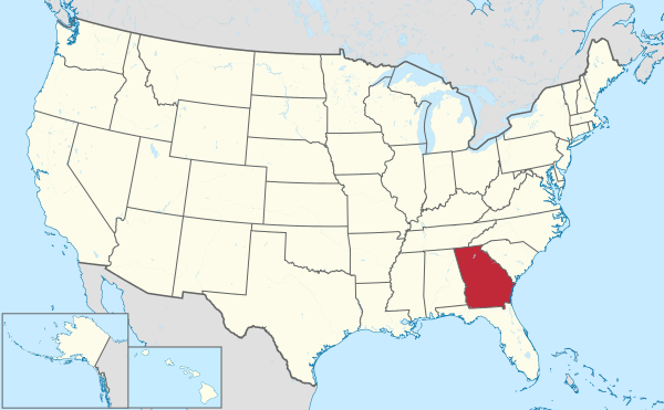
Crisp County is a county located in the central portion of the U.S. state of Georgia. As of the 2020 census, the population was 20,128. The county seat is Cordele. The county was created on August 17, 1905, from Dooly County and named for Georgia Congressman Charles Frederick Crisp.
Crisp County comprises the Cordele, GA micropolitan statistical area.
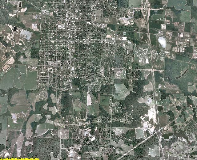
Geography
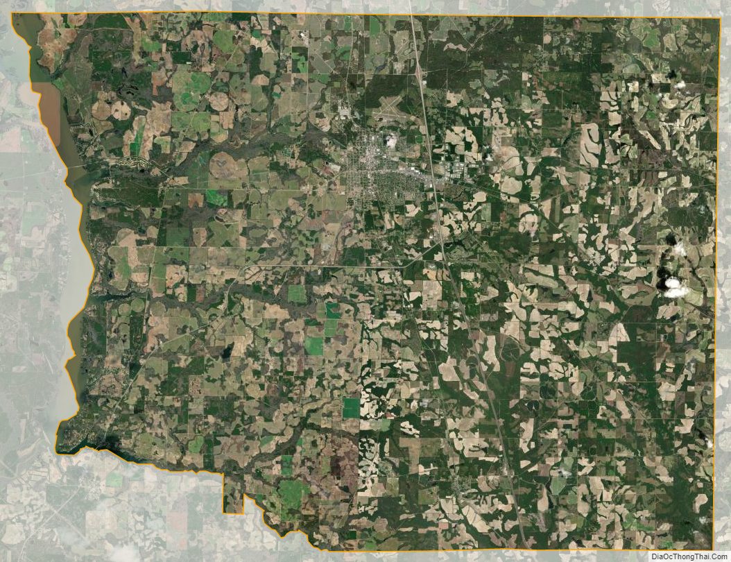
According to the U.S. Census Bureau, the county has a total area of 281 square miles (730 km2), of which 273 square miles (710 km2) is land and 8.4 square miles (22 km2) (3.0%) is water.
The western two-thirds of Crisp County, bordered on the east by a line from south of Arabi running northeast, is located in the Middle Flint River sub-basin of the ACF River Basin (Apalachicola-Chattahoochee-Flint River Basin). The eastern third of the county is located in the Alapaha River sub-basin of the Suwannee River.
Major highways
Adjacent counties
- Dooly County (north)
- Wilcox County (east)
- Turner County (southeast)
- Worth County (southwest)
- Lee County (west)
- Sumter County (west)
Communities
City
- Cordele (county seat)
Town
- Arabi
Census-designated place
- Wenona
Unincorporated territory
- Coney
Demographics
As of the 2020 United States census, there were 20,128 people, 8,585 households, and 5,712 families residing in the county.
Education
Politics
See also
- National Register of Historic Places listings in Crisp County, Georgia
- List of counties in Georgia
References
External links
- http://www.crispcounty.com
- Crisp County historical marker